
Burlington County Neighbors: Block Sources
Public records can describe the block around a Burlington County address, but they do not make a household roll. Parcel geometry establishes which lots touch or face the subject parcel. A municipal assessor can confirm the parcel card, while the County Clerk's recorded-document index adds deeds, liens, plats, and dates. The state voter system and Election Board are separate sources with redactions and access rules. Historic maps, directories, and library collections supply a dated layer rather than a current one. Label each result by its source and relationship to the parcel.
| Block source | What it can establish | Documented access route |
|---|---|---|
| NJGIN parcels and address points | Parcel shape, PIN, address and road linkage, county, municipality, block and lot | Statewide public parcel tools; hosted owner names are redacted. |
| Municipal assessor | Parcel card, situs, mailing address, assessment details and visible owner information | Use the state assessor-contact list to reach the correct local custodian. |
| Burlington County Clerk PRESS | Recorded parties, instruments, deeds, liens, plats and recording dates | Public search, with different search modes by recording period. |
| New Jersey voter records | Ordinary public registration fields where law permits, including address and district context | State voter portal, Election Board, or a narrow lawful request; redactions apply. |
| City maps and history collections | Ward, historic district, zoning, dated directories, maps, newspapers and photographs | Municipal map page, BCLS, and the Historical Society. |
| Municipal permits and code | Address-linked work, inspections, notices, and property chronology | Construction or code office, with municipal portal fields varying by location. |
A recorded owner is not automatically an occupant. A tax mailing address may be elsewhere, a deed party may be a prior owner or trust, and a voter entry has its own privacy limits. Renters, household members, utility customers, visitors, and protected residents do not become public neighbors merely because they are nearby. That distinction keeps a block search useful without overstating what the evidence proves.
Burlington County Blocks Begin With Geometry
New Jersey's parcel and MOD-IV resources are the documented fallback when a Burlington County address needs a map-to-parcel match. Search by address, county, municipality, block, or lot, then preserve the municipality, PIN, block, lot, and lot qualifier with the address. NJGIN provides parcel geometry and standardized identifiers, yet it redacts owner names in hosted parcel data under Daniel's Law. The municipal assessor and recorded land records remain the follow-up sources for visible ownership evidence.
The Burlington County Board of Taxation describes the assessment system that draws its records from the county's 40 municipal assessors.

The board certifies tax lists, while the municipal assessor is the practical custodian for a particular parcel card. Ask that office whether a separate situs and mailing address appear on the card before treating either as a residential fact.
Note: The county GIS page listed property viewers as offline during the August 2026 inspection, so unverified buffer or adjacent-parcel controls should not be assumed.
Mapping Neighbor Parcels in Burlington County
For Burlington County neighbors, build a small parcel worksheet rather than relying on a radius result. The intended county method is to open a parcel viewer, find the subject parcel, inspect the polygons that share side, rear, or frontage boundaries, and carry each parcel identifier to the right custodian. Because the county property applications were offline when checked, the reliable published path is geometry first in NJGIN, then confirmation through the assessor and PRESS.
- Normalize the street address and use the legal municipality, not only the postal city.
- Find the subject parcel in NJGIN and save its municipality, block, lot, qualifier, PIN, and address point.
- Identify the adjoining polygons, recording the identifier and jurisdiction for each parcel rather than assuming a shared street means a shared owner.
- Ask the correct municipal assessor about the parcel card, then use the identifier or a recorded party in PRESS for document evidence.
- Mark each name as a current recorded owner, prior recorded party, voter record, permit applicant, or historical occupant, never simply as a neighbor.
When the question expands from the adjoining lots to a whole named road, the Burlington County street directory follows the broader address-by-address chain. A block worksheet is deliberately narrower. It also records municipal or county borders, because adjacent geometry and postal delivery can cross the jurisdiction that keeps the records.
Burlington County Owners and Occupants
PRESS is document-centered, not a current household list. For records from March 1, 2012 forward, block-and-lot searching is available alongside owner-name searching. The 1965 through February 2012 portion is owner-name only, and older material moves to the Clerk's archive viewer. A deed can supply a party name, recording date, instrument or book and page, municipality, and legal description. It records a transfer of an interest, not proof that a person currently lives at the parcel.
A parcel card also needs careful reading. Situs means the physical property location. Mailing address is where the taxing authority sends notices, which may be another home, a business, or a trust address. Neither an absent name in NJGIN nor a different mailing address should be converted into a claim about who does or does not live on the block.
- Parcel
- A mapped unit of land identified for assessment and land-record work.
- Situs
- The physical location of that parcel, separate from an owner's mailing address.
- Recorded party
- A grantor, grantee, lender, or other person or entity named in a recorded instrument.
- PIN
- A parcel identifier used with geometry and related property systems.
Burlington County Neighbor Voter Context
New Jersey voter-registration information is generally available subject to election-law and privacy limits, not as a census of all Burlington County neighbors. Ordinary public list fields may include a name, residence or mailing address, party affiliation, ward or district, and status. Social Security numbers, driver-license and non-driver identification numbers, and signatures are withheld. Ballot choices are secret, and public information about a nearby registered voter does not prove every resident in the household.
Burlington County election results show the county's public election publishing route, distinct from an individual registration search or a voter-list request.
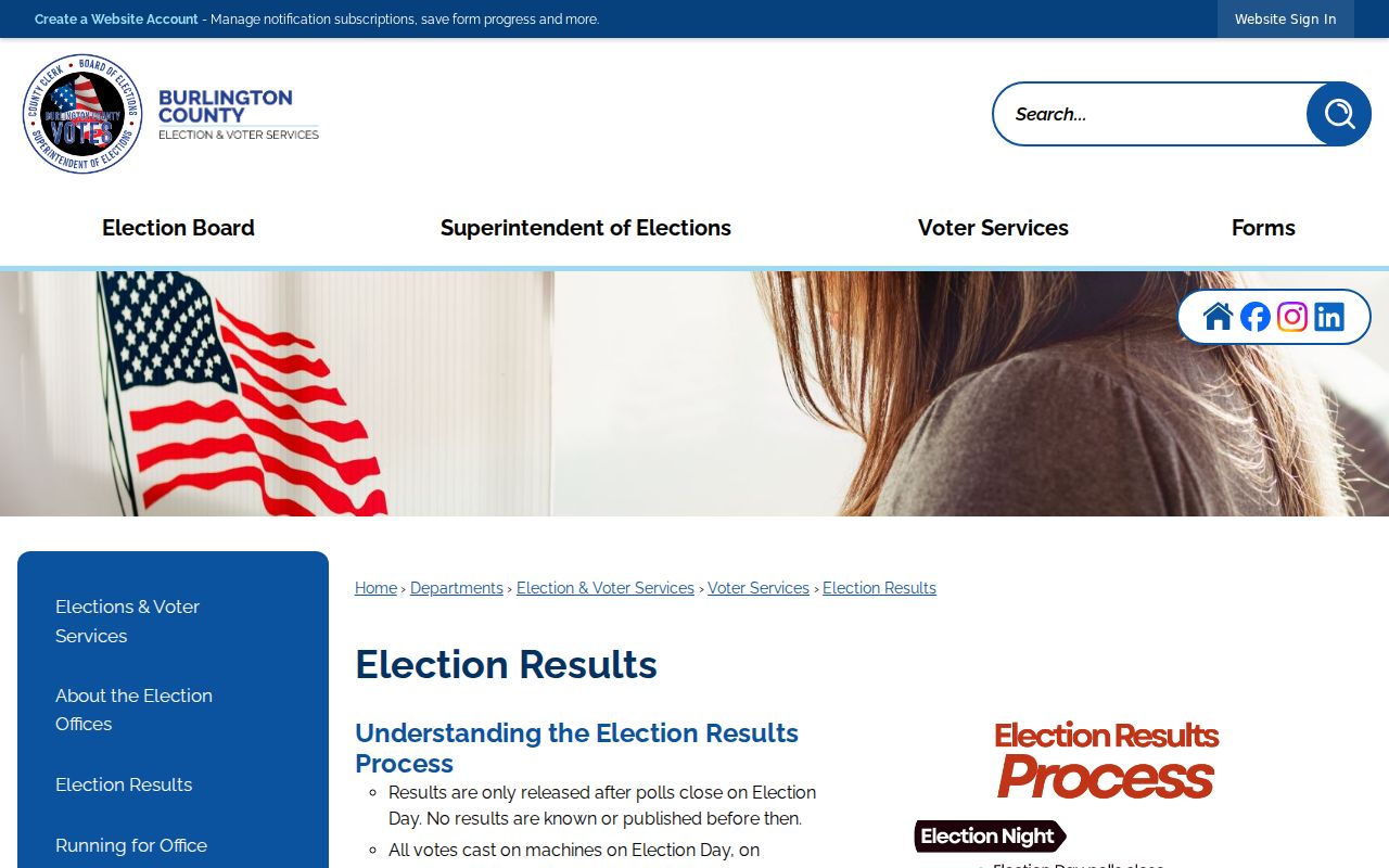
For a portal issue or a specific existing election record, the Burlington County Board of Elections is at 301 Harper Drive, Moorestown, NJ 08057, 609-265-5557, weekdays 8 a.m. to 4 p.m. The state voter search requires an exact match to the county record, so spacing, hyphens, initials, or a changed surname can produce a no-match without disproving a past connection.
Note: A written OPRA request should identify the existing record, municipality, election, or date and go to the correct custodian, not ask an agency to compile a new block roster.
Burlington County Civic Map Layers
Neighborhood labels can mean different things. The City of Burlington maps page groups Historic District, Zoning, Voting Wards, and Neighborhood/Parking Map resources. These layers help place an address in civic geography. They do not establish private association membership or provide a resident directory. Use them to distinguish a ward, historic district, zoning area, or parking area from the name used by a postal service or informal neighborhood.
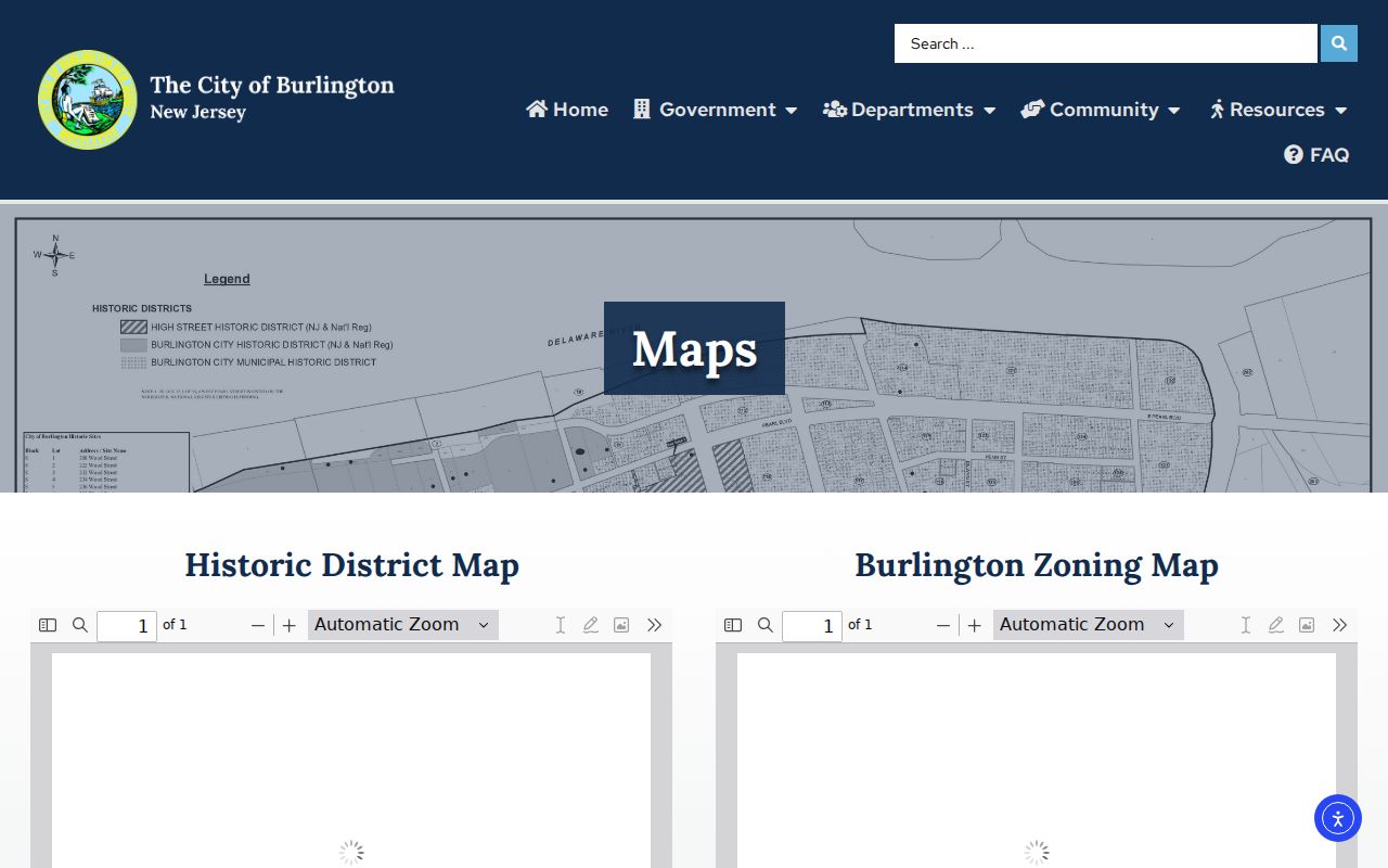
For a historical block, pair a dated map with a dated directory, newspaper citation, postcard, or recorded instrument. BCLS holds maps, city directories, newspapers, photographs, family files, cemetery records, and scrapbooks; the Historical Society holds maps, deeds, manuscripts, photographs, and business records. Those materials create a time-stamped context, not a present-day household list.
Burlington County Community Contact Limits
The research found county quick links for the Burlington County Regional Chamber of Commerce, the Chiefs of Police Association, and the Fire Chiefs Association, but it did not verify a countywide directory of neighborhood associations, HOA boundaries, member rosters, congregation lists, or block-watch memberships. That absence matters. A public organization contact can be useful civic context, while a private roster must not be inferred from an address or an informal online label. The City of Burlington construction office and code office are separate public, address-linked routes for an inspection or work chronology, although a live portal-field inventory was not verified.
| Public community route | What is confirmed | What remains unverified |
|---|---|---|
| County mobile directory | County office and association contact route | A countywide neighborhood or HOA member directory |
| Municipal clerk or planning records | Potential custodian route for recorded covenants or public planning files | Association names, boundaries, and directory status for every municipality |
| BCLS and Historical Society | Local-history files, maps, directories, and newspaper evidence | Current private membership or household data |
Start with a municipality's clerk, planning office, or a recorded declaration when the address is within a known development. Public meeting notices, official newsletters, and established repository material are preferable to an unverified group listing. Do not infer affiliation from an address, an obituary mention, or a business filing.
Forty Municipalities Shape Each Block
Burlington County has 40 municipalities, an important numbers-based constraint on neighbor research. One side of a road, a parcel at a municipal edge, or an address using a familiar postal city may route to a different clerk, assessor, registrar, or local map. Countywide land records still flow through the Clerk's system, but property assessment remains municipal. Keep the legal municipality beside every parcel identifier and source date.
Postal geography adds another layer. ZIP code 08060 serves Eastampton, Mount Holly, and Westampton, while 08075 serves Delanco, Delran, and Riverside. Shared delivery geography does not turn them into one civic block. The official New Jersey municipality lookup and the parcel key, rather than a postal label alone, are the sound way to identify the responsible government office.
Note: A block at a municipal or county line needs both jurisdictions checked because the assessor, recording system, and delivery geography may not share the same boundary.
Official and Commercial Neighbor Tools
Commercial neighbor-lookup services can combine property, directory, and marketing data into an easy list, but that convenience does not substitute for a Burlington County custodian. Their records can be stale, duplicated, or assigned to the wrong person or address. Official sources take more steps because they separate geometry, assessed property, recorded documents, and election material. That separation is useful when accuracy matters.
| Official source path | Commercial neighbor-lookup category |
|---|---|
| Shows a specific record layer, custodian, and date, with source-specific redactions. | May merge multiple data sources into a convenience list with uncertain update timing. |
| Allows parcel, legal description, instrument, or civic map details to be checked at the source. | May blur recorded owner, occupant, and historical-party roles into one result. |
| Supports a direct correction or copy question to the office that holds the record. | Cannot replace the underlying assessor, Clerk, or elections custodian for verification. |
Burlington County Neighbor Privacy Limits
New Jersey privacy protections can make a person-level result unavailable even where parcel geometry remains visible. The Address Confidentiality Program uses a legal substitute address and forwarding arrangement for eligible participants. Daniel's Law protects covered public servants and eligible household members from government-site disclosure. NJGIN also redacts owner names in hosted parcel data under Daniel's Law. An empty name field can reflect protection, a restricted record, an incomplete index, or a separate mailing address. It is not evidence of a current address.
The New Jersey Office of Information Privacy explains Daniel's Law and its covered-person redaction program.
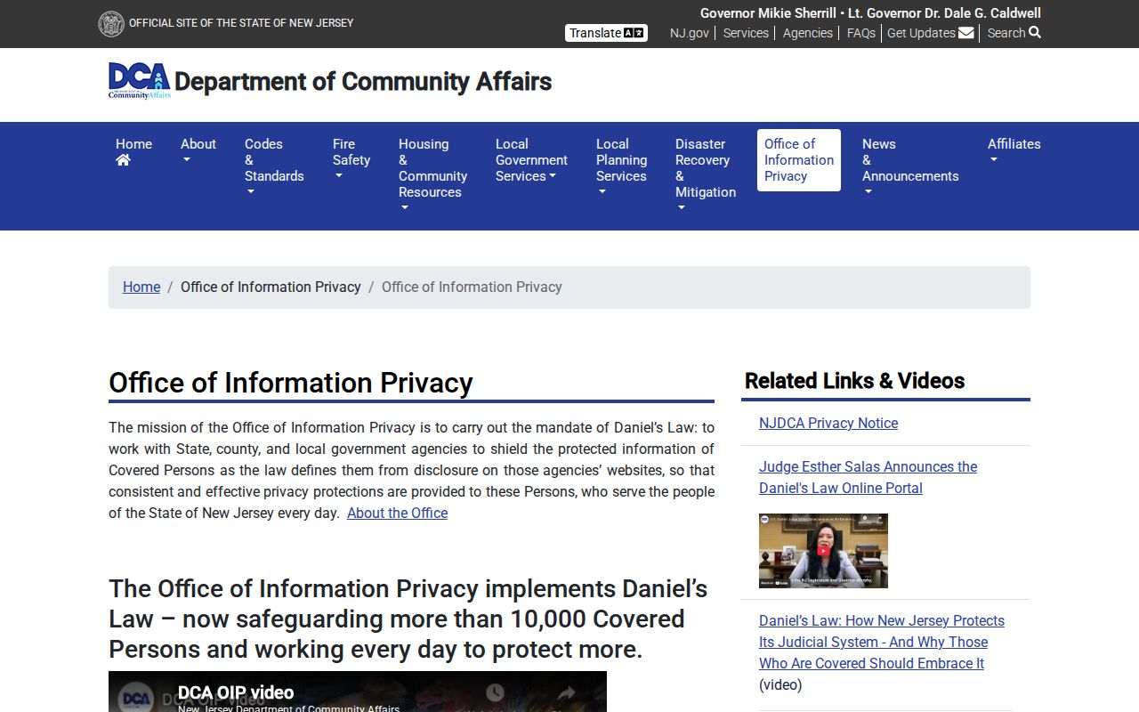
The privacy program is why a careful Burlington County neighbors search keeps geometry separate from identity and treats missing information as a limit, not a gap to work around. Utility, delivery, medical, school, and private household information are outside ordinary public block research.
Lawful use. Use Burlington County neighbors records for personal, lawful research and civic context. Do not use public information to watch, stalk, harass, intimidate, or harm anyone; New Jersey's stalking and harassment statutes can apply to misuse.